
🌍 Earth’s 100 Million-Year Makeover
See how our planet transformed—30 seconds, 100 million years!

To demonstrate that the Earth's surface is in constant motion, scientists at the University of Sydney have developed a groundbreaking model illustrating the transformation of Earth's landscapes over the past 100 million years. Published on March 2nd in the journal Science, this model explores the impact of climate on the movement of sediments in rivers and oceans, alongside the shifting of tectonic plates. The research team hopes their work will provide a powerful tool for testing predictions about how climate change may shape Earth’s surface in the future.
"To predict the future, we must first understand the past," said Dr. Tristan Salles, lead researcher on the project. "Our geological model offers new insight into the forces that have shaped Earth's recent geographical features."
Today's landscapes are the result of millions of years of interaction between climatic forces and tectonic activity. Tectonic plates, which include Earth's crust and the uppermost part of the mantle, float on a softer, hotter layer called the asthenosphere. The asthenosphere’s heat and flow drive the plates to move, collide, and grind against one another, leading to the formation of mountains, volcanoes, and the occurrence of earthquakes. Simultaneously, climate plays a crucial role in weathering and erosion, breaking down rocks into sediments that are then transported by water. These processes shape river systems, cause floods, and alter the speed and path of water flow.
In their model, the researchers demonstrate how Earth's current topography evolved over geological time with the highest resolution ever achieved. They began by using geological records to simulate how land elevation has changed over millions of years. Then, they integrated ancient climate data obtained from an independent computer model to track how rainfall and temperature would have affected erosion and sediment transport. The final model was refined and validated by comparing its predictions with real-world geological formations and sediment patterns observed in nature.
One of the model's most striking outputs is a high-resolution timelapse video that captures dramatic changes in elevation and sediment deposition over time. In the video, each frame represents one million years of Earth’s evolution. It reveals erosion depths of up to 5 kilometers and sediment layers as thick as 5 kilometers, offering an unprecedented view of how natural forces have sculpted the planet.
What makes this model especially significant is its potential to help scientists understand modern environmental challenges. Human-induced climate change is altering the chemical composition of the oceans and disrupting sedimentary processes. By applying this model, researchers can better assess how these changes might influence current and future sediment transport, erosion rates, and landscape development.
According to Dr. Salles, the model lays a critical foundation for scientists across various disciplines. For example, experts studying biogeochemical cycles or evolutionary biology can use the model to test hypotheses about how changing environments have influenced life on Earth. It could also aid in predicting the distribution of natural resources like minerals and fossil fuels, which are often found in sedimentary formations.
Moreover, the model bridges a gap between geological and climate sciences. Traditionally, these disciplines have operated in parallel, but the integration seen in this project highlights the interconnectedness of Earth’s systems. It reminds us that landscapes are not static; they are dynamic and ever-changing, influenced by a continuous dialogue between Earth’s inner heat and its atmospheric conditions.
The study arrives at a crucial moment. As we face increasing climate instability, understanding how Earth's surface responds to environmental stressors becomes more urgent than ever. Sea-level rise, coastal erosion, and shifting weather patterns all pose threats to human populations and ecosystems. Tools like this new model offer a window into the past, allowing us to anticipate and prepare for the future.
The researchers emphasize that while the model does not offer precise forecasts for future landscapes, it significantly enhances our ability to explore how different factors interact over long timescales. It enables scientists to simulate various scenarios, such as how increased rainfall might accelerate erosion or how tectonic shifts could redirect river systems.
In essence, this innovative model acts as a time machine, transporting us through millions of years of Earth’s history and equipping us with the knowledge to face tomorrow's challenges. It underscores a vital truth: the story of our planet is written not only in its rocks and rivers but also in the invisible forces that move them.
About the Creator
Eleanor Grace
"Dream big.Start small.Act now."
Keep reading
More stories from Eleanor Grace and writers in Earth and other communities.
A World Without Plastic: Better or Worse?
If plastic had never existed on Earth, our planet would be vastly different from what we see today. Would the oceans be clearer? Would forests stretch across more land? Or would our world have transformed in unexpected ways? Let's explore this fascinating hypothetical scenario.
By Eleanor Grace10 months ago in Earth
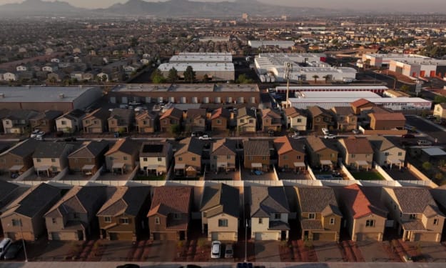
Wall Street–Backed Landlords Become a Rare Target for Both Trump and Democrats
In an era of deep political polarization, agreement between Donald Trump and Democratic leaders is increasingly rare. Yet one issue has unexpectedly drawn criticism from both sides of the aisle: Wall Street–backed landlords. As housing affordability reaches crisis levels across the United States, large investment firms that own thousands of rental properties are facing growing political scrutiny—from conservatives and progressives alike.
By Muhammad Hassanabout 9 hours ago in Earth
So You Decided To Become a Nurse Practitioner:
So you decided to become an "Advanced Practice" nurse. Congratulations!... is what I would say if this was a good idea. Grad school? In this economy? What were you thinking? Likely it was something along the lines of either 1) “I've seen these other chucklefucks do it— Why can't I?” or even 2) “I've got a nice career, I should shake it up. I miss feeling like I have no clue what I'm doing.”
By Sandor Szabo4 days ago in Fiction


Comments
There are no comments for this story
Be the first to respond and start the conversation.