
Historical Maps Were Created to Facilitate the Tithe System of Taxation
Origins of map making
The Christian Churches role
Christian churches played a vital role in providing its members with shelter and protection for participating in its congregation . Church annointed kings and their families were given this respnsiblity. Kingdoms had defined borders and anyone living within these borders payed a tax to the King. It was believed the church and the king were the law givers and protectors for the Creator. Making borders and maps even more important to the kingdom. The kingdom was then placed on a map and identified as an area created and protected by God.
Investigating our past through maps
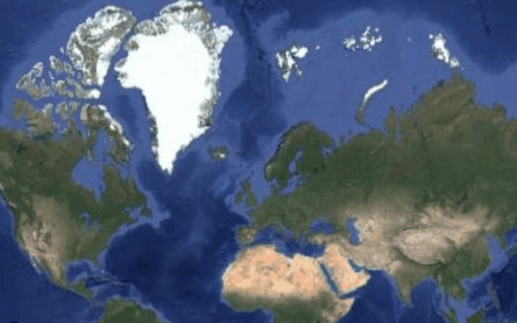
Modern mapping has gone to an extreme because of internet technologies. Mapping the earth has become an art form. People all over the world can now pin point an area on the other side of the world and investigate a region more throughly then ever before.
We can investigate our past without digging simply by studying old maps. Accurate mapping was born out of the navigation in the great age of exploration from the 15th century. Prior to that, surviving maps were created to facilitate the tithe system of taxation. Attempts to map the landscape in detail were mainly due to military needs arising from wars.
Most of the maps that survive in records offices from before the 18th century are to do with land tenure and taxation. In Europe, the Church was a major landowner, and it derived much of its wealth from the tithe system, whereby landowners obeyed the Biblical instruction to pay to the Church a tithe (or one-tenth) of their income. Later laws enabled the Church to convert tithes paid in kind into financial tax, where the landowners could donate a piece of land to the church as to perpetuity to free themselves from the annual charge.
As a result, some of the earliest maps to survive show details as land boundaries, field names and the names of landowners and tenants, take the form of tithe maps. They provide a detailed picture at the time they were surveyed.
Explorers like Christopher Columbus were financed by kings to make maps of new lands that could be owned and conquered. These lands could then be used for its resources and taxed to bring in more revenue for the kingdom. These explorers were deemed heros for the bravery they showed and the extra ordinary art of completing a map for the people that sent them. In the end the wealth the explorers gave the king was wealth that the maps defined because the king held their image of parchment in his hands. As long as he held that map image , it was his.
Bourders of a country, internal borders of a state, county , city , kingdom or duchie help to defind who belongs to what area. The governments of these areas then can determine its definded citizens, so taxes can be ordered to maintain its populations. In areas of wealth, this can be a very powerful tool.
Where can you find historic maps online?
Thanks to digitization, more maps are available on the internet. Libraries such as the Perry-Castaneda Library Collection at the University of Texas in Austin that not only provide access to their own collections, but also provide links to tens of thousands of historic maps from all over the world. The link to the university's website is www.lib.utexas.edu/maps/
The internet is a valuable source for old map collections. Many museums throughout the world have now downloaded their collections on line for all to see and examine.Military collections from past wars outine areas of contentions with definded borders of wealth and resourses to win. Wars are fought for new d3finded borders and the populations in them.
Old historical maps provide a unique look into our past as a people. The older the map is the greater that peek into the past is. Many artifacts are found and debated as to whose they were, what they were used for, why they were made and how were they made. Yet maps visually feature undisputed surveys of rivers, roads, canals, railways, settlements, cities, kingdoms, woods, fields and boundaries. Maps are a great human treasure handed down from the ages. The true historical story is theirs to tell.
About the Creator
Keep reading
More stories from Deborah Jones and writers in History and other communities.
Avoid Overspending Triggers to Achieve Fashion Style on Any Budget
A great way to save on fashion shopping At last an article that helps shoppers who seek to find terrific online shopping sources that will allow them to compare and find the best available prices on fashion. .As one option, a great way to save on shopping for fashion is to make purchases from your local community downtown. The other is to seek and find terrific online shopping sources that will allow you to compare and find the best available prices. Many online shopping stores offer reasonable or free shipping right to your door. Since many online sellers do not have a brick and mortar store, they do not have the extra rent overhead, which is an added cost that would be passed on to their customers. After you shop and discover just how much you've saved by not paying extras like sales tax or spending money for gas, this can really add up on what that item costs you. A friendly tip is when you come across these such benefits, TAKE ADVANTAGE OF THEM!
By Deborah Jones4 months ago in Styled
A 4,400-Year-Old Priestess Tomb Discovered in Egypt
Archaeologists in Egypt have uncovered the remarkable tomb of a priestess that dates back approximately 4,400 years, offering new insight into religion, culture, and daily life during the height of the ancient Egyptian civilization. The discovery was made near the famous pyramids on the Giza Plateau, one of the most important archaeological areas in the world. Experts believe the tomb belonged to a high-ranking priestess named Hetpet, who lived during Egypt’s Fifth Dynasty, around 2400 BC. 
By Irshad Abbasi 7 days ago in History


Comments
There are no comments for this story
Be the first to respond and start the conversation.