
The Arctic is Breaking Down: Why This Rare February Signal Has Meteorologists On Edge
A Rare Disruption at the Top of the World Could Reshape Weather Patterns Across the Northern Hemisphere

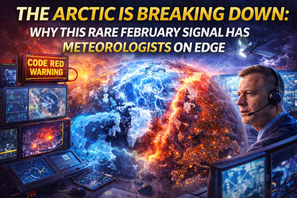
As the calendar turns through February, something unsettling is happening 30,000 feet above the North Pole. High-altitude sensors and satellite data are flashing "code red" signals that haven't been seen in decades. Meteorologists are sounding the alarm on an unusually early Arctic breakdown—a massive disruption of the atmosphere that could flip the script on the rest of our winter.
While we usually expect the "Big Freeze" to be locked away in the far north until spring, the Arctic’s defenses are crumbling early. This isn't just a local weather blip; it’s a global atmospheric event that could send the Northern Hemisphere into a chaotic cycle of weather whiplash.
What is an "Arctic Breakdown"?
To understand the chaos, we have to talk about the Polar Vortex. Despite what disaster movies suggest, the polar vortex isn't a storm—it’s a massive, high-altitude cyclone of frigid air that acts like a "container" for the coldest temperatures on Earth.
When the vortex is strong, it spins fast and tight, keeping the freezing air trapped over the pole. But when a "breakdown" occurs, that container cracks.
- The Result: Frigid Arctic air "spills" south into North America, Europe, and Asia.
- The Swap: Warm air from the mid-latitudes rushes north to take its place, causing the Arctic to experience bizarre heatwaves while the rest of us freeze.
Why Scientists Are Worried: Signals Not Seen in Decades
Disruptions to the Arctic circulation aren't entirely new—events like 2018's "Beast from the East" are famous examples. However, the timing of this current event is what has veteran forecasters scratching their heads.
Usually, these disruptions occur in late March or April as the seasons naturally shift. Seeing these high-intensity signals in early February is statistically rare and suggests a massive instability in the global climate engine.
"The pressure anomalies we are seeing right now are reminiscent of reanalysis patterns from decades ago," one researcher noted. "We are seeing pulses of heat hitting the stratosphere much earlier than the seasonal norm."
The Three Warning Signs:
- Early Stratospheric Warming: A sudden spike in temperature miles above the Earth that acts as a hammer, shattering the polar vortex.
- A "Drunken" Jet Stream: The jet stream—the river of air that guides our weather—is becoming wavier and more unpredictable.
- Historical Anomalies: Data patterns that haven't appeared in modern digital forecasting records are beginning to emerge, putting us in "uncharted territory."
From the North Pole to Your Front Door
You might be wondering: “If the Arctic is breaking down, does that just mean it's going to get cold?” Not necessarily. The hallmark of an Arctic breakdown is volatility. Because the jet stream becomes "wavier," it creates atmospheric "blocks." This leads to a weather pattern known as stagnation and extreme swings:
- Extreme Cold Snaps: Sub-zero temperatures hitting regions that aren't prepared for them (think Texas in 2021).
- Bizarre Warm Spells: You might see 60°F (15°C) on a Monday and a blizzard by Wednesday.
- Infrastructure Stress: Rapid freezing and thawing cycles are notorious for bursting pipes, creating massive potholes, and straining power grids as energy demand fluctuates wildly.
The Climate Change Connection: A Shifting Baseline
It’s impossible to talk about the Arctic without talking about Arctic Amplification. The North Pole is warming roughly four times faster than the rest of the planet.
As sea ice thins, the "cap" on the ocean is removed. This allows heat to escape into the atmosphere, creating the very "warming pulses" that destabilize the polar vortex. While no single event can be blamed solely on climate change, a warmer Arctic makes these breakdowns more frequent, more intense, and—as we are seeing this February—much more unpredictable.
How to Prepare for the "Late Winter Shift"
With the atmospheric signals pointing toward a chaotic few weeks, meteorologists recommend a "stay frosty" approach—literally.
- Follow the "Short-Range" Experts: Long-range forecasts (14+ days) are currently unreliable because of the atmospheric turbulence. Pay closer attention to 48-hour updates.
- Winterize Now: If you haven't checked your home’s insulation or emergency car kits, do it before the next "dip" in the jet stream arrives.
- Agriculture and Logistics: Farmers and shippers should prepare for sudden frosts that could threaten early-blooming crops or disrupt supply chains.
The Bottom Line
The Arctic is the world’s refrigerator, and right now, the door has been left wide open. As the polar vortex wobbles and weakens in this rare February event, we are likely to see the atmosphere try to "rebalance" itself in dramatic ways.
Whether it results in a final "Big Freeze" or a series of record-breaking storms, one thing is certain: the seasonal script is being rewritten in real-time.
Would you like me to generate a 10-day weather outlook summary for a specific region based on these current Arctic trends?
About the Creator
Adil Ali Khan
I’m a passionate writer who loves exploring trending news topics, sharing insights, and keeping readers updated on what’s happening around the world.
Keep reading
More stories from Adil Ali Khan and writers in Earth and other communities.
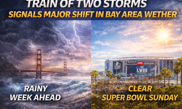
“Train of Two Storms” Signals a Major Shift in Bay Area Weather
After weeks of relatively dry and stable conditions, the Bay Area is preparing for a noticeable change in weather. Meteorologists are tracking what they describe as a “train of two storms,” a back-to-back weather pattern that could reshape the region’s forecast over the coming days.
By Adil Ali Khana day ago in Earth
Philippines Pharmaceutical Market 2026: Healthcare Access, Local Manufacturing & Treatment Demand
Philippines Pharmaceutical Market Overview The Philippines pharmaceutical market is experiencing steady growth as rising healthcare needs, expanding access to medicines and increasing public and private healthcare investment reshape the country’s medical landscape. Pharmaceuticals play a central role in treating acute and chronic conditions, supporting preventive care and improving overall quality of life. The Philippines pharmaceutical market growth reached USD 3.36 Billion in 2025. Looking forward, the market is expected to reach USD 3.91 Billion by 2034, exhibiting a growth rate (CAGR) of 1.71% during 2026-2034. This growth reflects population expansion, greater health awareness and gradual strengthening of domestic manufacturing capabilities.
By Manisha Dixit6 days ago in Earth


Comments
There are no comments for this story
Be the first to respond and start the conversation.