
Potential Tropical Cyclone Six Forms in the Gulf of Mexico, Tropical Storm Warning Issued for Texas
Potential Tropical Cyclone Six Threatens Texas Coastline: Tropical Storm Warning Issued, Possible Hurricane Midweek
On Sunday night, forecasters announced that Potential Tropical Cyclone Six had formed over the Gulf of Mexico, bringing concern to residents along the southern Texas coastline. As a result, a tropical storm warning was issued for parts of southern Texas, alerting those in the region to prepare for possible impacts.
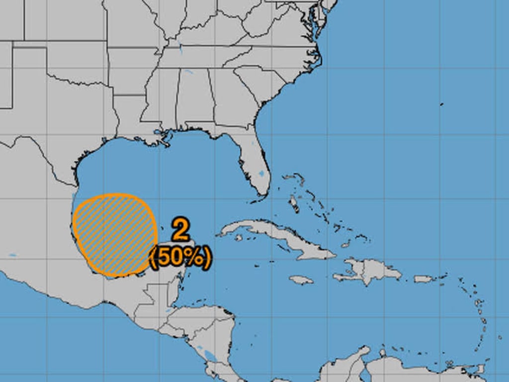
At 10 p.m. on Sunday, the National Hurricane Center (NHC) provided an update on the storm’s location and strength. The system was positioned approximately 320 miles south-southeast of the mouth of the Rio Grande and around 550 miles south of Cameron, Louisiana. With maximum sustained winds of 50 mph, the storm was moving slowly north-northwest at around 5 mph.
Forecast for Strengthening
According to the NHC, while little change in strength is expected over the next 12 to 24 hours, the storm could become stronger as it moves over warmer waters in the Gulf of Mexico. Forecasters expect it to reach tropical storm strength by Monday, just as it nears the western Gulf coast. The NHC has also warned that the storm may intensify further, potentially developing into a hurricane by midweek when it approaches the northwestern U.S. Gulf Coast.
If this storm strengthens as predicted, it could bring significant impacts to coastal regions of Texas and Louisiana. The NHC highlighted the possibility of life-threatening storm surges and damaging winds, particularly for areas along the Upper Texas and Louisiana coastlines. These hazardous conditions could begin as early as Tuesday night, though it’s still too early to predict the exact location and severity of the impacts.
Warnings and Watches in Effect
Tropical storm watches have already been issued for parts of both Mexico and the United States. The watch covers areas from Barra del Tordo, Mexico, to the mouth of the Rio Grande, as well as from the mouth of the Rio Grande to Port Mansfield, Texas. A tropical storm watch means that tropical storm conditions are possible in these areas within the next 48 hours, giving local authorities and residents time to prepare.
The NHC has also indicated that hurricane and storm surge watches are likely to be issued for portions of the Upper Texas and Louisiana coastlines on Monday. Given the storm’s potential strength, residents in these areas are being urged to review their hurricane preparedness plans and stay tuned to local news for updates. Even if the storm doesn’t directly hit their area, it could still bring heavy rainfall, flash flooding, and strong winds, all of which pose serious risks.
What to Expect: Rainfall and Flooding Threats
One of the major concerns with any tropical system is the threat of heavy rainfall and the flooding that can follow. According to the NHC, this potential tropical cyclone could bring significant rain to areas from far northeast Mexico all the way up to coastal Texas and Louisiana. These regions should be prepared for heavy downpours through Thursday, which could lead to flash flooding in some areas.
Given that much of the Gulf Coast is already prone to flooding, especially during hurricane season, even a tropical storm could have severe consequences. Residents in low-lying areas, or regions that are prone to flooding, should be on alert and ready to move to higher ground if necessary.
Hurricane Season So Far
This year’s hurricane season has already been relatively active, with five named storms forming in the Atlantic since the season began. These storms were named Alberto, Beryl, Chris, Debby, and Ernesto. The next storm to form will be named Francine, which is likely to happen soon if Potential Tropical Cyclone Six continues to strengthen as forecasted.
The 2024 hurricane season, which officially runs from June 1 to November 30, is expected to be active, and this latest system is another reminder of the importance of preparation. Even though not every tropical storm or hurricane will make landfall, the threat of dangerous weather conditions remains high throughout the season.
Stay Informed and Be Prepared
As always, it’s crucial for residents in areas that may be affected by tropical storms and hurricanes to stay informed by monitoring local weather updates and heeding any advice from emergency management officials. It’s also a good idea to review your hurricane preparedness plan, make sure you have enough supplies on hand, and have a clear evacuation route in place should the need arise.
For now, the exact impact of Potential Tropical Cyclone Six remains uncertain, but the growing threat of dangerous weather conditions is enough reason for those along the Gulf Coast to be on high alert. Whether it becomes Tropical Storm Francine or strengthens further into a hurricane, it’s better to be prepared for the worst and hope for the best.
In the coming days, more updates will be provided by the NHC, so residents of southern Texas, Louisiana, and even northeastern Mexico should pay close attention to weather alerts. It’s crucial to remain ready and aware during hurricane season, as storms like this one can develop quickly and bring devastating impacts in a short amount of time.
About the Creator
Do Not Touch the Roses
There is a quiet power in the phrase “Do Not Touch the Roses.” It sounds like a warning, but it feels like an invitation — one that asks us to pause, admire, and respect something without claiming it. Roses have long symbolized love, beauty, and passion, yet they are also guarded by thorns. That contradiction makes them the perfect metaphor for many of life’s most meaningful things.
By Aarif Lashariabout 10 hours ago in Earth


Comments
There are no comments for this story
Be the first to respond and start the conversation.