
Five Graphics That Show Greenland’s Importance to Trump
Why this icy island is suddenly in the spotlight of U.S. politics
When you think of Greenland, you probably imagine a frozen wasteland with more ice than people. But during Donald Trump’s presidency—and even in public discussions since—it has become a hot topic in geopolitics. From military strategy to rare minerals and climate change, Greenland’s importance goes far beyond its icy landscape. Let’s explore five graphics that help explain why Greenland matters to Trump.
1. Greenland’s Geopolitical Location: The Arctic Hotspot
A simple map can say a lot. Greenland sits at the northern edge of the Atlantic, near the Arctic Circle, and between the U.S., Europe, and Russia. Its location makes it a critical point for monitoring air and sea routes.
During the Cold War, the U.S. used Greenland to watch Soviet activity. Today, its strategic value remains. Maps showing Greenland’s position relative to the GIUK (Greenland-Iceland-UK) gap make it clear why Trump sees the island as a national security asset.
2. Melting Ice, New Opportunities
Climate change isn’t just an environmental issue—it’s reshaping trade routes and resources. Graphics showing Greenland’s ice melt over the years reveal more than melting glaciers.
As ice recedes:
New shipping routes open between Europe and Asia.
Mineral deposits once hidden under ice become accessible.
For Trump and other policymakers, this visual isn’t just about climate—it’s about economic and strategic opportunity in the Arctic.
3. Hidden Wealth: Minerals Beneath the Ice
Greenland’s map of natural resources shows deposits of rare earth minerals, uranium, zinc, copper, and gold. Why does this matter?
The U.S. depends on imports for many critical minerals.
China dominates rare earth processing, giving it global leverage.
A resource map makes it obvious why Greenland isn’t just strategic—it’s potentially economically critical. Accessing these resources could help the U.S. compete in tech, defense, and renewable energy.
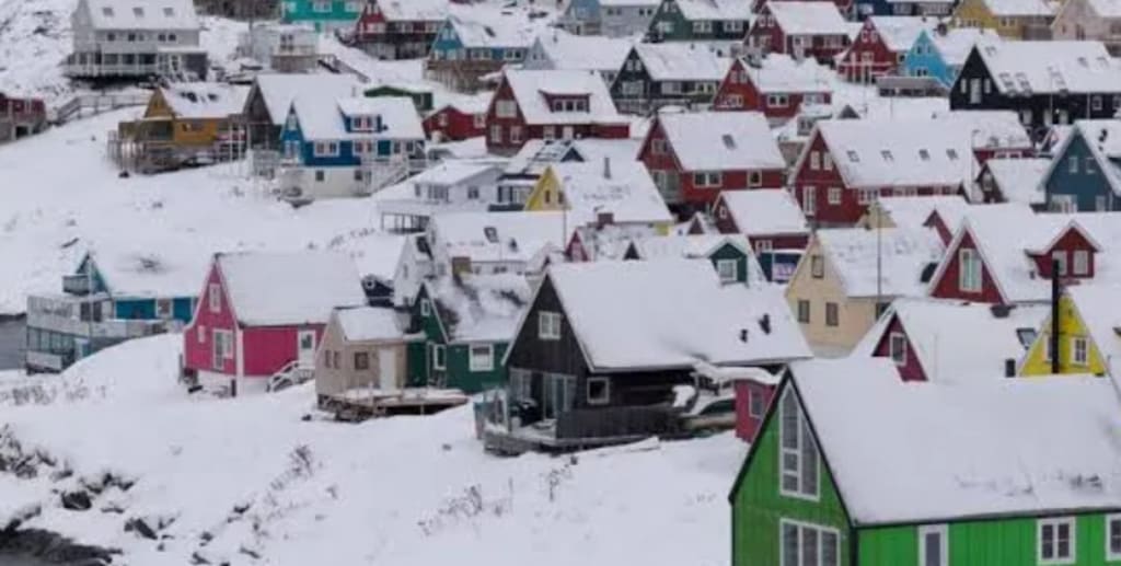
4. Population & Infrastructure: Sparse but Significant
With just over 56,000 residents spread across 2 million square kilometers, Greenland is one of the least populated places on Earth.
A graphic showing population density highlights two things:
Extracting resources is expensive and challenging due to limited infrastructure.
Local sentiment matters. Greenlanders value self-determination and have consistently rejected the idea of being “sold” to another country.
This reminder shows Greenland is more than a strategic asset—it’s a community with its own political voice.
5. Military Presence: Bases and Defense Strategy
A map of U.S. military installations shows the Pituffik Space Base (formerly Thule Air Base). Operating since the Cold War under a defense agreement with Denmark, it provides early warning radar and Arctic defense capabilities.
Overlaying military bases with potential future sites illustrates how Greenland fits into U.S. defense planning. For Trump, this visual reinforced the idea that the U.S. should have a larger role in the Arctic as competition with Russia and China grows.
What These Graphics Reveal
Together, these five types of visuals tell a compelling story:
Strategic location makes Greenland a key Arctic hub.
Climate change is transforming the island into a new frontier.
Rich natural resources offer economic and technological advantage.
Sparse population means challenges—and local politics—cannot be ignored.
Military bases provide a foundation for strategic presence.
Whether you agree with Trump’s interest in Greenland or not, these graphics help explain why this remote, icy island suddenly matters on the global stage.
Greenland may seem frozen in time, but these visuals show it’s very much at the center of future geopolitics. From military strategy to mineral wealth, this island has quietly become a prize that world powers are watching closely.
About the Creator
Keep reading
More stories from Aqib Hussain and writers in The Swamp and other communities.
Iran’s Regime May Have One Chance to Save Itself
For more than four decades, the Islamic Republic has survived wars, sanctions, internal unrest, and global isolation. Its leadership has repeatedly relied on force, ideology, and patience to outlast crises. But today’s unrest feels different. It is deeper, wider, and more determined — and it raises a question many Iranians are now asking openly:
By Aqib Hussainabout 14 hours ago in The Swamp
US Labels Muslim Brotherhood in Egypt, Lebanon, and Jordan as ‘Terrorists’: A Major Shift in Middle East Policy
The United States has officially designated the Muslim Brotherhood’s branches in Egypt, Lebanon, and Jordan as terrorist organizations, marking a significant change in Washington’s stance toward one of the most influential Islamist movements in the Middle East. This announcement, made by the State Department, is expected to have far-reaching consequences for regional politics, diplomacy, and counterterrorism efforts. A Controversial Organization Founded in Egypt in 1928 by Hassan al-Banna, the Muslim Brotherhood has evolved from a religious and social movement into a politically influential organization across multiple countries. It operates social services, charities, and political entities, but some factions have also been accused of engaging in militant activities. Historically, the Brotherhood has maintained a complex position in global politics: viewed as a legitimate political actor by some governments and as a security threat by others. Before this designation, the United States had largely differentiated between the Brotherhood’s political and militant wings, often engaging with non-violent factions for diplomatic purposes. By labeling the Egyptian, Lebanese, and Jordanian branches as terrorist organizations, the US is signaling a zero-tolerance approach, potentially treating all elements of the movement as threats. Implications for Egypt In Egypt, the Brotherhood has been banned since 2013 following the military removal of former President Mohamed Morsi, the group’s first democratically elected leader. The Egyptian government has since carried out a harsh crackdown on members, imprisoning thousands and restricting the organization’s activities. The US decision aligns with Cairo’s hardline stance and provides international validation for continued suppression. However, analysts warn that the designation may further radicalize the movement’s underground elements, potentially leading to an increase in clandestine activity. Impact on Lebanon Lebanon presents a more complicated scenario. Unlike in Egypt, the Muslim Brotherhood in Lebanon primarily operates as a political and social organization without a significant armed wing. The US terrorist designation could disrupt Lebanon’s delicate political balance, which relies on cooperation among multiple sectarian and ideological groups. Critics argue that this move may inadvertently push some factions closer to extremist groups, destabilizing a nation already facing political and economic challenges. Consequences for Jordan In Jordan, the Muslim Brotherhood functions as a recognized political party, participating in parliamentary elections and social programs. By labeling the organization a terrorist entity, the US risks creating tensions between the Jordanian monarchy and Brotherhood supporters. This could provoke unrest, weaken moderate political participation, and complicate US-Jordan relations, which have historically relied on cooperation with both government authorities and political Islamists. International Reactions The US decision has prompted mixed international responses. Gulf nations such as Saudi Arabia and the UAE, which have long opposed the Brotherhood, welcomed the designation, viewing it as a step toward curbing the organization’s regional influence. Conversely, European allies have expressed concern that such a sweeping classification could undermine diplomatic engagement and limit channels for negotiating with moderate Islamist groups who participate in political processes. Human rights organizations have also criticized the move. They argue that lumping non-violent political activity together with terrorism risks undermining civil liberties and discouraging peaceful political participation. “By not distinguishing between armed militants and lawful political actors, this policy could fuel alienation and radicalization rather than prevent it,” said an analyst from an international think tank. Broader Implications for US Policy This designation reflects a broader US policy shift toward political Islam in the Middle East. Officials argue that labeling the Brotherhood as a terrorist organization will limit funding, restrict movement, and reduce the operational capabilities of groups perceived as threats. However, critics caution that this approach could backfire by eliminating moderate voices, empowering authoritarian regimes, and alienating populations who view the Brotherhood as a legitimate representative of their interests. Looking Ahead The US labeling of the Muslim Brotherhood in Egypt, Lebanon, and Jordan as terrorist organizations is likely to have profound political, security, and diplomatic repercussions. Beyond cutting off financial and logistical support, the decision could reshape regional alliances, alter internal political dynamics, and redefine the US approach to Islamist movements in the Middle East. Governments in the region now face the challenge of managing local responses while balancing international relations and domestic stability. For the Brotherhood, the designation raises urgent questions about strategy, from legal challenges to underground operations. In an increasingly volatile Middle East, the US decision underscores the continuing struggle between state authorities and Islamist movements, highlighting the difficult balance between security, political inclusion, and the rights of citizens. As events unfold, the world will be watching closely to see whether this controversial move strengthens stability or fuels further unrest.
By Fiaz Ahmed Brohi5 days ago in The Swamp


Comments
There are no comments for this story
Be the first to respond and start the conversation.