
Winter Storm Delivers Significant Snow from Rockies to Midwest
A weather system is bringing heavy mountain snow and widespread accumulating snowfall across the Plains, with impacts expected in Chicago and northwest Illinois.

A Winter Storm Moves Eastward
A large winter storm system is progressing across the continental United States. This system is now impacting the Northern Rockies and Plains. The storm is producing heavy snow in higher elevations. It is also spreading measurable snowfall into the Midwest. This is creating hazardous travel conditions across multiple states.
Heavy Snow Targets the Northern Rockies
The core of the heaviest snow is currently falling in the Northern Rockies. This includes states like Montana, Wyoming, and Idaho. Higher elevations in these areas are forecast to receive up to a foot of new snow. Winter Storm Warnings remain in effect for many mountain ranges. The snow is wet and heavy in some areas, which can lead to tree damage and power outages.
Snow Expands Across the Plains
The storm's reach is extending eastward from the Rockies. The snow band is moving into the High Plains and the Dakotas. South Dakota is expecting widespread accumulating snowfall. Areas of northeastern South Dakota could see several inches. This is creating difficult driving conditions on interstate highways, including sections of I-90 and I-29. Road visibility will be reduced at times.
The Storm's Path Toward the Midwest
Weather models show the storm system tracking toward the Great Lakes region. This path will direct moisture into the central Midwest. Northwestern Illinois is within the zone expecting accumulating snow. The forecast indicates a period of steady snow will move through this area. The timing of the snowfall appears to be centered on the overnight and early morning hours.
Chicago Braces for Measurable Snowfall
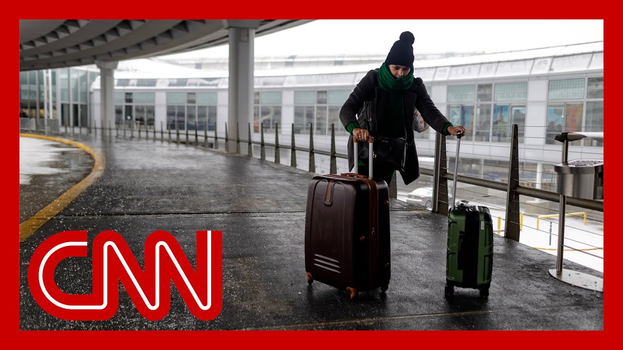
The city of Chicago and its surrounding suburbs are preparing for snow. Current forecasts predict 2 to 5 inches of snow for the metro area. The snow is expected to begin as a light mix before changing to all snow. The heaviest period of snow will likely occur during the morning commute. This timing has the potential to create significant travel delays.
Primary Impact: Slick Travel Conditions
The main concern with this snowfall is not extreme volume, but its impact on travel. Snowfall totals of 2 to 5 inches are manageable but will create slick roads. Pavement temperatures are at or below freezing. This means snow will stick to roads and sidewalks immediately. Untreated surfaces will become snow-covered and slippery. Motorists should plan for longer commute times.
City and State Preparations
Municipal crews in Chicago and across Illinois are preparing for the snow. Salt trucks and plows are being staged for deployment. The Illinois Department of Transportation advises drivers to be cautious. They recommend allowing extra space between vehicles and reducing speed. Travelers should check flight statuses, as some delays at O'Hare and Midway airports are possible.
Behind the Snow: A Surge of Cold Air
This snow event is the precursor to a shot of much colder air. After the snow moves through, temperatures are forecast to drop sharply. This cold air will follow the storm into the Midwest. Any moisture on roads will freeze, leading to patches of black ice. Residents should also be aware of the potential for gusty winds, which could cause blowing snow after the storm passes.
Safety Advice for Affected Areas
Residents in the storm's path should take standard winter weather precautions. If you must drive, ensure your vehicle's gas tank is at least half full. Keep an emergency kit in your car with blankets, a flashlight, and snacks. Allow extra time for your morning commute. Check on neighbors who may need assistance, especially the elderly. Clear walkways to prevent slips and falls.
The Science of Snowfall Prediction
Predicting exact snow totals, especially in urban areas like Chicago, involves many variables. Small shifts in the storm track can change snowfall amounts. The temperature of the ground and the intensity of the snowfall also affect accumulation. Meteorologists use a blend of radar data, satellite imagery, and computer models. These tools help narrow the forecast range to the 2-to-5-inch prediction.
Context of a Larger Weather Pattern
This storm is not an isolated event. It is part of an active winter weather pattern across the country. The same jet stream pattern is also responsible for severe weather in the South and cold air in the East. These systems are all connected by large-scale atmospheric flow. This pattern appears likely to remain active for the next one to two weeks.
Economic and Daily Life Impacts
Snow events like this have tangible economic effects. They impact retail and restaurant traffic. They cause delays in shipping and logistics. School districts will be monitoring conditions for potential delays or closures. Employers are advised to be flexible with staffing, as employees may need to work remotely or arrive late due to road conditions.
Staying Informed With Reliable Sources
During developing weather situations, it is important to use trusted information sources. Rely on updates from the National Weather Service and local broadcast meteorologists. Be cautious of sensationalized snowfall maps on social media. Official warnings and advisories provide the most accurate guidance for public safety.
Post-Storm Cleanup and Conditions
Once the snow ends, cleanup operations will begin in earnest. The following days will be characterized by cold temperatures. This will keep snow and ice on untreated surfaces for an extended period. Residents are responsible for clearing public sidewalks adjacent to their property in most municipalities. Community cooperation makes recovery from these events smoother.
Looking Ahead to the Next System
The current forecast indicates the potential for another weather system later in the week. It is too early to determine specific impacts, but the pattern remains active. The public is encouraged to stay aware of future forecasts after this storm clears. Winter weather preparedness is an ongoing necessity during this season.
Conclusion: A Manageable but Disruptive Event
The incoming snowfall from the Rockies to Chicago is a significant weather event. For the mountains, it is a major winter storm. For the Plains and Midwest, it is a disruptive snowfall that will impact travel and daily routines. By taking prepared actions and adjusting plans, residents can mitigate the storm's effects. The focus remains on safety and caution until the system moves out of the region.
About the Creator
Saad
I’m Saad. I’m a passionate writer who loves exploring trending news topics, sharing insights, and keeping readers updated on what’s happening around the world.
Denmark and Greenland Prepare for US Talks as Trump Says Territory’s PM Has a ‘Big Problem’
Denmark and Greenland are preparing for crucial talks with the United States amid renewed diplomatic tension, after former US President Donald Trump claimed that Greenland’s prime minister has a “big problem.” The remarks, reported as part of ongoing European political coverage, have drawn attention to the fragile balance between diplomacy, sovereignty, and strategic interests in the Arctic. As delegations ready themselves for discussions in Washington, the episode underscores how Greenland has once again become a focal point in global geopolitics.
By Aarif Lashari3 days ago in Earth


Comments
There are no comments for this story
Be the first to respond and start the conversation.