
How the Face of Earth Has Changed Since 1900
From forests to freeways, a century of transformation we can't ignore


If you could look at Earth from space in 1900, and again today, you wouldn’t just see more lights at night.
You’d see a different planet.
Not another world entirely, but a familiar one with deep scars, new lines, and a rearranged identity.
Over the last 120+ years, Earth hasn’t just evolved, it’s been reshaped, repainted, and in some places, reimagined by human hands.
Let’s take a journey across time and terrain to see how Earth’s geographical image has changed, one layer at a time.
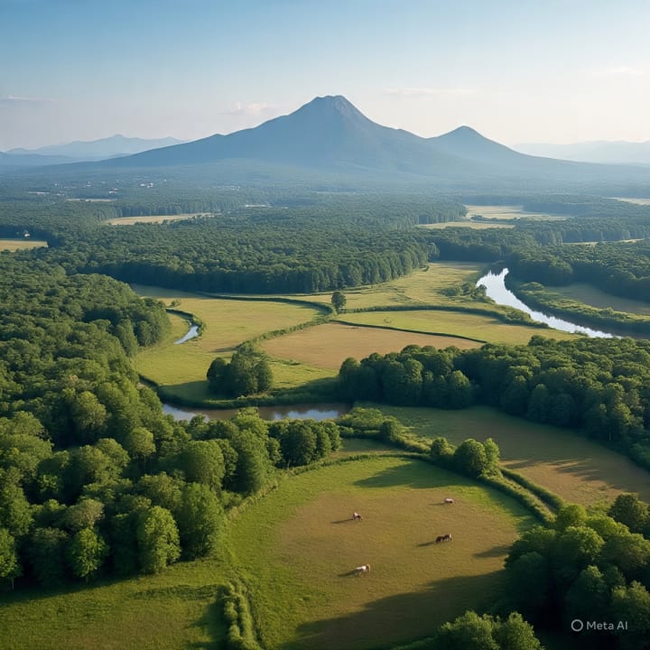
1900: A Wild and Green Planet
Back in 1900, Earth was still largely wild.
Over 50% of land was forests, wetlands, and grasslands.
Cities existed, yes, but urban areas made up less than 10% of land use.
The global population was under 2 billion, and most people lived rurally.
There were no satellites. No highways. No megacities.
Climate change was a whisper, not a warning.
From the Amazon rainforest to the Arctic tundra, vast stretches of Earth looked almost untouched. Rivers followed their natural bends. Mountains stood without being tunneled through. Coastlines weren’t carved up by resorts or rising tides.
Maps from that time are less cluttered, not just due to limited knowledge, but because the world itself was simpler.
1950s-1970s: Concrete, Conflict, and Expansion
After World War II, the world changed fast.
The 1950s brought rapid industrialization, especially in Europe and the U.S. New suburbs formed. Highways sliced through countryside. The space race sent satellites up, and data began flowing down.
Forests started shrinking.
Dams multiplied, turning rivers into reservoirs.

Farmlands replaced wetlands, especially in Asia and North America.
By the 1970s, the Earth's “face” had visibly changed in aerial photos. You could see deforestation lines in the Amazon. Agricultural grid patterns in the Midwest. Smoke stacks and coal mines leaving black bruises on the land.
The global population crossed 4 billion. Cities grew taller, roads longer. We started changing the color of Earth’s surface, literally from green to gray.
1980s-2000s: Globalization and Environmental Warning Bells
By the late 20th century, the Earth was looking more connected and more stressed.
Deserts were expanding (the Sahel in Africa, for example).
Glaciers started melting faster in the Arctic and Himalayas.
Rainforests disappeared at alarming rates, especially in Brazil and Indonesia.

Urban sprawl became global: megacities like Tokyo, Delhi, and São Paulo exploded.
Technology gave us better maps, but they showed a troubling picture. Satellite imagery revealed coral bleaching, dried-up lakes (like the Aral Sea), and rising sea levels nibbling at coastlines.
This era also saw the first big environmental awakenings:
Climate summits, “Earth Day” movements, and global efforts to save what was being lost.
2000s-Now: A Planet Under Pressure
Today, we live on a planet that looks busier than ever and more fragile than ever.
Over 75% of the Earth’s ice-free land has been significantly altered by humans.
Urban areas have more than tripled since 1950.
We’ve built over 1 million km of roads just in the Amazon.
Sea levels have risen ~8 inches, swallowing parts of coastlines.
Satellite imagery today shows:
Shrunken glaciers in Greenland and Antarctica
Artificial islands in the Persian Gulf and South China Sea
New deserts in Africa, Asia, and even parts of the American West
The deep scars of wildfires in Australia, California, and Canada
Even the cloud cover and atmospheric makeup have shifted due to human activity. Earth’s image doesn’t just show geography now, it shows consequences.
The Tools That Let Us See It All
In 1900, we drew maps by hand.
Now, we use Landsat, Google Earth, and climate satellites to watch Earth change in near-real time.
These tools show that Earth is alive, breathing, shifting, reacting.

And while some of those changes are natural, the majority since 1900 are human-made.
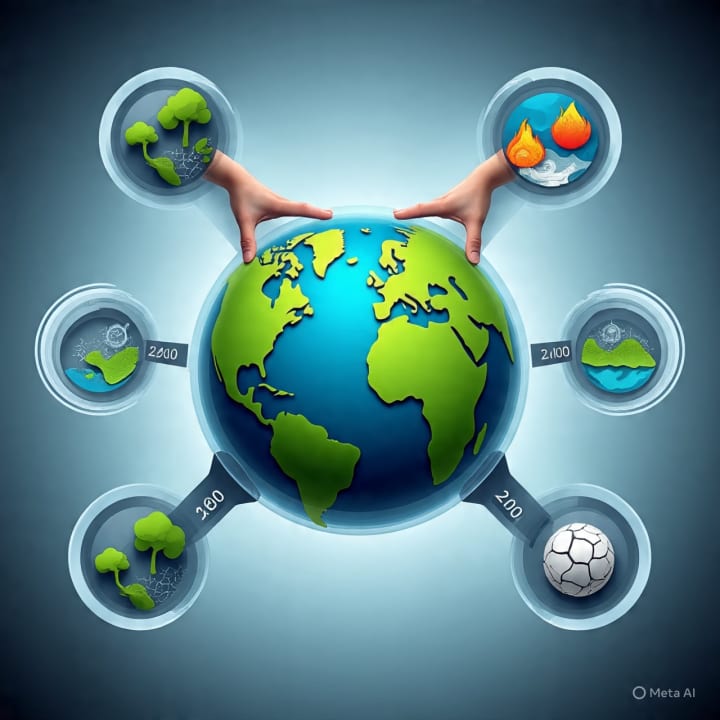
What Will the Map Show in 2100?
Every city built, every tree cut, every dam installed, it all leaves a fingerprint on the Earth’s surface.
We’ve gained a lot: industry, connection, comfort, speed.
But we’ve also lost a lot: wilderness, balance, stability.
The question now isn’t just how much more will Earth change?
It’s: How much of it can we still choose?

Because the next century’s map, the next image from space will show the legacy of our decisions.
Let’s make sure it’s one we’re proud of.
And Then:
Over the last century, we've reshaped Earth more than any time in history, not by nature’s force, but by our own hands. Forests are being cut faster than they’re being replanted, urban sprawl is replacing green spaces, and the natural balance is tipping. Our addiction to development and convenience has led to rising global temperatures, shrinking glaciers, vanishing wildlife habitats, and unstable climate patterns. The Earth we see today, through satellites and changing maps is a clear reflection of human impact. If we continue to take more than we give back, we risk creating a planet that's not just changed, but damaged beyond repair.
About the Creator
Zia Ul Islam
🌿 Nature-lover
✈️ Traveler
📷 Memory collector
🌸 Dreamer
Explorer
🎒 Adventure seeker
💬 Emotion sharer
🧡 Soulful thinker
🎶 Peace seeker
🌍 Culture explorer
🎨 Beauty in simplicity
Keep reading
More stories from Zia Ul Islam and writers in Earth and other communities.
Where Mountains Touch the Sky: My Journey Through Northern Pakistan
Some places leave a mark on your passport. Northern Pakistan left a mark on my heart. From Burnout to Breathtaking: I was stuck in the same old routine, waking up, working, sleeping day in and day out. I felt bored, restless, and unsure of what I even needed anymore. Everything around me felt lifeless, like I was just drifting through the days. I wanted to get away for a while to leave behind the same streets, the same conversations, and the same worn-out routine. I craved fresh air, new faces, and a glimpse into a world I hadn’t yet known. I needed a different rhythm, a different energy something that would wake me up from the inside. So I set off toward the north, chasing change.
By Zia Ul Islam8 months ago in Earth
Hemp as a sustainable material
The ecological properties of hemp makes it one of the types of insulation used in construction with the lowest carbon emissions footprint. In the future, hemp could play a paramount role in the race towards reducing the global carbon emissions footprint to fight climate change, and a more sustainable construction industry.
By Susan Fourtané a day ago in Earth


Comments
There are no comments for this story
Be the first to respond and start the conversation.