Manoj Rajput
Joined October 2024
1 story
Bio
As a passionate content writer, I enjoy exploring and sharing insights across diverse niches like technology, robotics, agriculture, smartphones, and many more. Through my blogs, I aim to provide valuable, well-researched content.
Stories (1)
Filter by community
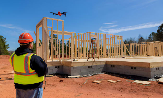
Drone Usage for Surveying and Mapping in Civil Engineering
Drones have revolutionized surveying and mapping in civil engineering by offering efficient, accurate, and cost-effective solutions. Equipped with advanced sensors and cameras, drones can capture detailed aerial data, making them an essential tool in modern construction and infrastructure projects. Here's a breakdown of how drones are used in civil engineering, their benefits, and their applications.
By Manoj Rajputabout a year ago in 01