Khatri Anju
Stories (2)
Filter by community
Behind the Scenes of LiDAR Data Processing: Insights from a Mission Coordinator's Perspective. AI-Generated.
LiDAR technology, often used to create detailed 3D maps of landscapes, relies heavily on precise data processing to make sense of the captured data. This article will explore the processes that go behind LiDAR data processing in detail.
By Khatri Anjuabout a year ago in Education
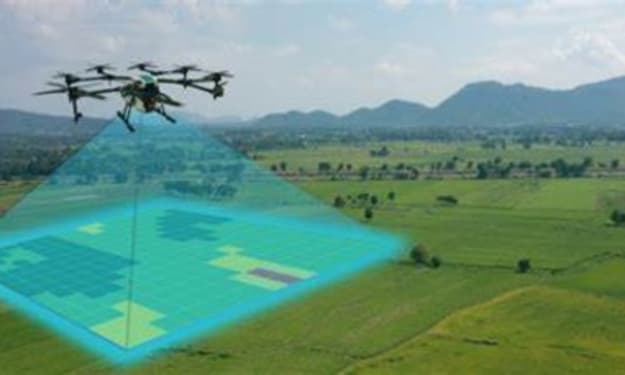
The Evolution of Remote Sensing: From Satellites to Drones & Beyond. AI-Generated.
The landscape of remote sensing has undergone a remarkable transformation in recent times. It is no longer just about capturing grand, blurry aerial photographs. Today, a sophisticated suite of technologies – from high-orbiting satellites to nimble drones – paints a detailed picture of our planet, empowering various industries and government sectors across the globe with unparalleled precision. In fact, a recent report by GeoMarketing suggests that the global market for remote sensing data and services is projected to reach a phenomenal $18.6 billion by 2025, reflecting the ever-increasing demand for geospatial insights across diverse applications.
By Khatri Anju2 years ago in Education