
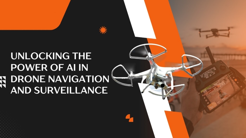
Unlocking the Power of AI in Drone Navigation and Surveillance
Discover how AI is transforming drone navigation and surveillance with smarter flight paths, real-time analysis, and enhanced situational awareness in 2025.

As technological progress accelerates, the role of the drone has shifted from little more than an elevated camera to a sophisticated airborne platform. Modern airframes are now furnished with artificial-intelligence processors that enhance speed, autonomy, and dependability. Systems for airborne surveillance, package delivery, or agricultural monitoring rely on continuous data ingestion and instantaneous analysis, letting the craft chart a course or diagnose its own motor stress with little or no human oversight.
Consequently, governments, corporations, and academic laboratories are deploying intelligent drones in defense, precision farming, disaster relief, and smart-city programs, which all leverage the machines capacity to harvest and sift through terabytes of fresh information faster than a person could blink.
Key Advantages of AI in Drone Navigation and Surveillance
- Enables real-time obstacle detection and automatic avoidance for safer flights
- Enhances accuracy in autonomous navigation across complex terrains
- Provides instant analysis of live video for faster decision-making
- Detects and tracks moving objects with precision in surveillance missions
- Reduces human error by automating routine flight operations
- Increases efficiency in large-area coverage for mapping and inspections
- Supports coordinated drone swarms with intelligent flight path optimization
- Identifies anomalies, patterns, and threats in crowded urban environments
- Minimizes energy use through optimized flight routes using machine learning
- Learns and adapts from past missions to improve future performance
How AI Enables Real-Time Decision-Making in Modern Drone Systems
What distinguishes AI in this domain is its talent for managing intricate variables on the fly. Legacy drones typically follow either a rigid flight plan or a manual stick-and-throttle command, freezing them once the environment strays from the script.
An AI-enhanced model, however, observes trees, birds, storm fronts, or other craft, updates an internal map, and chooses a new tack within milliseconds. That agility lets it dodge towers, pursue a moving target, or spot an unexpected sinkhole, and such real-time judgment is rapidly becoming the benchmark for premium UAV design.
How Artificial Intelligence Enhances Drone Navigation Systems
Effective navigation is essential to the success of every drone mission. In earlier designs, aerial vehicles relied almost exclusively on GPS along with basic onboard sensors that traced pre-programmed flight paths. The arrival of advanced AI algorithms has changed that picture. Modern drones now identify obstacles, adjust course in changing weather, and create real-time maps of unexplored areas. By continuously analyzing flight logs, sensor readings, and recognized objects, machine-learning models refine positioning with each mission, yielding safer, more efficient flights.
AI also powers swarm operations, where several drones share information and move as a single team. Such coordinated fleets can survey wide landscapes faster while steering clear of one another and eliminating duplicate flight lines. This capability is being harnessed for wildlife tracking, environmental surveys, and large-scale military surveillance. Guided by intelligent navigation, contemporary drone systems no longer focus solely on arriving at a waypoint; they learn to evaluate options and choose the best path during the journey.
AI Surveillance with Intelligent Aerial Imaging
Artificial intelligence is steadily transforming aerial surveillance by merging computer vision with real-time data processing. Drones outfitted with high-resolution cameras and deep-learning algorithms now pinpoint objects, people, and specific behaviors from hundreds of feet in the air. Agencies rely on this capability for border security, traffic oversight, disaster evaluation, and search-and-rescue operations. Where earlier systems demanded long hours of manual tape review, the AI scans live video, flags irregularities, and fires an alert within seconds.
In security contexts, the system can follow tracks of unexpected movement mark unauthorized vehicles or pick up thermal signatures that betray human presence in no-fly zones. Such speed and accuracy slash response windows and lift overall operational productivity. Because every mission feeds new data into the model, machine-learning techniques let the platform evolve and sharpen with use. These smart eyes in the sky thus provide a flexible scalable answer to ever-more demanding surveillance challenges.
Real-World Applications Across Industries
The rise of artificial intelligence has fundamentally reshaped how unmanned aerial vehicles navigate and gather data, with practical effects felt in many sectors. In agriculture, AIdriven drones continuously examine fields, spotting wilting plants or creeping infestations while calculating moisture needs from heat patterns. By feeding these observations back to farm management software, producers can target fertilizers and irrigation precisely, raising output and curbing unnecessary costs. Building teams have adopted similar tools; aerial surveys measure earthworks, document delays, and run video-based safety checks that flag missing helmets or unsafe scaffolds.
Emergency management illustrates the high stakes for which the technology was originally envisioned. Following an earthquake, flash flood, or wildfire, fleets of AI drones can swarm over a scarred landscape, stitching together live images into 3D maps while spotting heat signatures that signal buried survivors. Command centers rely on the fused data to rank search grids and direct teams to the most damaged bridges or hospitals within minutes, information that would take human crews days to compile. That speed will not eliminate every tragedy, yet it has already shortened evacuation windows where seconds count.
Challenges and Considerations in AI Drone Deployment
Although AI-enhanced drones promise remarkable gains, their rollout is far from trouble-free. Privacy tops the list, particularly in applications that scan crowds or monitor facilities. A machines effortless ability to catalogue faces or map secure zones blurs ethical lines and demands strict rules on data access, storage, and sharing. Crafting such policies while still enabling investigators or city planners to gather useful intelligence is a sensitive balancing act.
Hardware and software limitations add another layer of risk. AI models work well only when trained on clean, diverse samples; noisy or biased feeds can mislabel pedestrians as vehicles or cause a hover platform to drift. Loss of satellite or cellular signal, meanwhile, leaves many a prototype grounded, and lithium batteries may run dry long before a mission ends. Tackling these technical hurdles is vital for regulators, manufacturers, and users who seek reliable, responsible airborne eyes.
The Future of AI in Drone Innovation
Looking to the immediate future, artificial intelligence stands poised to redefine what unmanned aerial vehicles can achieve. Engineers now favour edge-computing architectures, which allow sensors and processors on the airframe to analyse video, LiDAR, and telemetry data in milliseconds; by eliminating distant servers from the feedback loop, they slash latency and make the aircraft far more agile in dynamic, high-stakes contexts. Parallel work ties those independent node clusters to next-generation 5G, a link that grants seamless, high-bandwidth dialogue to fleets of cooperative drones—a necessity for swarm tactics and dense urban-chokepoints.
Another compelling line of research addresses drone delivery as a micro-logistics backbone, here, firms such as Amazon, Wing, and the African start-up Zipline rely on machine-learning path planners that map obstacles, dodge radio interference and execute autonomous landings, all in terrain where GPS accuracy falters. Over the next five to ten years, regulatory hurdles aside, such intelligent e-haulers could move medical supplies, groceries and emergency parts on a regular basis, mediating the nodal transport role between ground vans and piloted aircraft.
Ethical AI and Responsible Drone Use
As drones grow more capable and commonplace, the ethical design and use of their AIs demands urgent attention. Developers must build clear, understandable algorithms, safeguard data, and eliminate bias to prevent harm. In surveillance missions especially, those who write code and those who fly craft share a duty to answer for their actions and respect individual privacy. A widely adopted set of ethical standards could tether rapid progress to public welfare.
Lawmakers, industry leaders, and civil-rights organizations can, by working together, craft rules that shield people yet leave room for innovation. Open-source models and independent audits will show whether a drones software behaves as promised. When vigilance guides design, AI can amplify security, cut costs, and solve tough problems-without stepping over accepted moral lines.
Final Thoughts
Artificial-intelligence-enhanced drones have moved beyond science fiction to influence everyday air travel and monitoring. By processing vast data streams on the fly, they offer sharper situational awareness, quicker decision pathways, and increasingly autonomous flight patterns that are already changing logistics, disaster response, and urban planning. Although unresolved questions about privacy intrusion, algorithmic bias, and coherent legal frameworks remain, few observers doubt that the technical tide is forward. If current trends hold, these smart aircraft will soon be standard tools for creating safer cities, more resilient infrastructure, and richer, data-driven research endeavors.
About the Creator
Olivia Smith
Olivia Smith, 34, Based in New York. Passionate Lifestyle Writer Dedicated to Inspiring and Motivating People Through Powerful, Uplifting Content and Everyday Life Stories.
Keep reading
More stories from Olivia Smith and writers in Lifehack and other communities.
How to Use AI to Improve Mental Health and Emotional Wellness
In an era defined by constant connectivity, mental health issues have moved from whispered concerns to public headlines. Escalating workloads, social media pressures, and relentless information streams fuel a notable increase in stress, anxiety, and emotional exhaustion. Many individuals, recognizing these symptoms, now look for streamlined, readily available strategies that fit into their busy lives rather than traditional, time-intensive therapies.
By Olivia Smith6 months ago in Motivation


Comments
There are no comments for this story
Be the first to respond and start the conversation.