
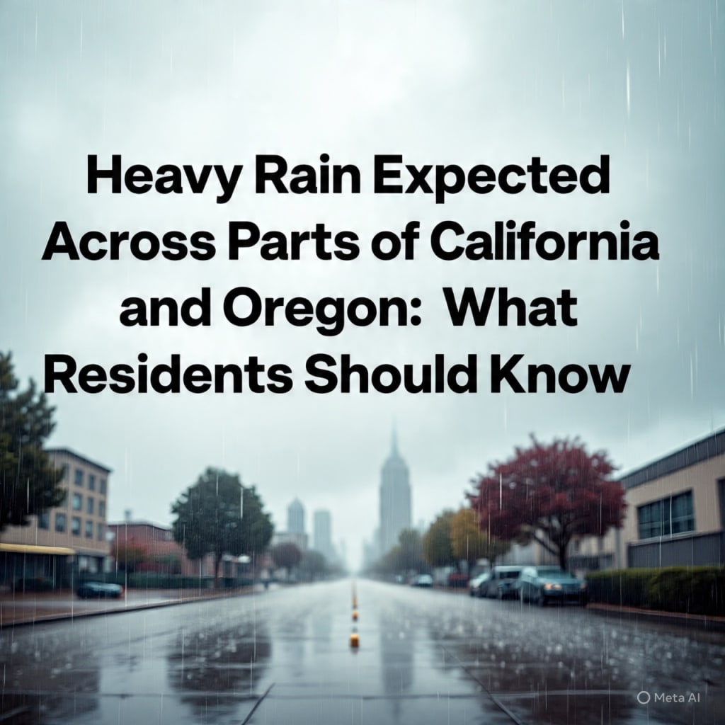
Heavy Rain Expected Across Parts of California and Oregon: What Residents Should Know
Forecasters warn of widespread precipitation, possible flooding, and travel disruptions in the coming days

A New Round of Rain Moves Toward the West Coast
A significant rain system is forecast to impact large parts of California and Oregon in the coming days. Meteorologists say the incoming storm will bring steady rainfall, with some areas expecting heavier bursts that could increase the risk of localized flooding.
According to reports from The Washington Post, forecasters are tracking a moisture-rich system moving in from the Pacific Ocean. The storm is expected to reach coastal areas first before pushing inland across valleys and mountain regions.
Residents are advised to monitor updates closely as timing and rainfall totals may shift depending on how the system develops.
When the Rain Will Arrive
Rain is expected to begin along parts of northern California and the Oregon coast first, likely within the next 24 hours. From there, precipitation will spread south and east, covering major metropolitan areas and inland communities.
In Oregon, steady rain is forecast to continue through much of the week, particularly in western regions. Southern and central Oregon may see lighter totals but could still experience wet road conditions and reduced visibility.
In California, northern counties are expected to receive rain earlier, with central regions following shortly after. Southern California may see lighter showers, though conditions can vary by location.
Officials caution that the heaviest rainfall periods may occur over several hours rather than all at once, which can still lead to runoff concerns in urban areas.
Areas Most Likely to See Heavy Rain
Coastal regions and mountainous terrain are expected to experience the highest rainfall totals. Elevated areas can enhance precipitation as moist air rises and cools, leading to more consistent rain.
Parts of northern California, including areas near the coast and higher elevations, may experience several inches of rain depending on the storm’s final track. Western Oregon, particularly communities west of the Cascade Range, is also likely to receive substantial rainfall.
Lower-lying and flood-prone areas should remain alert, especially if drains and waterways become overwhelmed.
Flooding and Travel Concerns
Heavy rain over a short period can increase the risk of street flooding and minor river rises. Urban locations with paved surfaces often see faster runoff, which can cause temporary pooling of water.
Drivers are encouraged to slow down during heavy rain and avoid crossing flooded roadways. Even shallow water can create hazardous driving conditions.
Air travel may also be affected if rainfall reduces visibility or leads to delays at regional airports. Travelers should check flight status in advance.
Emergency management officials in both states often issue advisories when rainfall rates increase or when rivers approach critical levels. Residents should stay informed through local alerts.
Mountain Impacts and Snow Levels
While much of the system will bring rain to lower elevations, mountain areas may experience a mix of rain and snow depending on temperature levels.
Snow levels are expected to fluctuate, meaning some higher elevations could see accumulating snow, especially overnight when temperatures drop. This may affect travel through mountain passes.
Drivers heading through higher terrain should prepare for changing road conditions and carry appropriate supplies during winter weather events.
Why This Storm Is Significant
The Pacific Northwest regularly experiences rain during the cooler months. However, the intensity and duration of each system vary.
Meteorologists note that this particular storm draws moisture from the Pacific, sometimes referred to as an atmospheric river when concentrated moisture streams reach the West Coast. These systems can deliver large amounts of precipitation over a short period.
While rainfall is beneficial for water supplies and reservoirs, excessive accumulation in a limited timeframe can create challenges.
Impact on Drought and Water Supply
Parts of California have faced ongoing water management concerns in recent years. Periodic storms help replenish reservoirs and groundwater, which are essential for agriculture and urban use.
Rainfall from this system could provide short-term relief in some regions. However, experts caution that one storm alone does not resolve long-term drought conditions.
Water officials continue to monitor snowpack levels in mountain ranges, as melting snow contributes significantly to water availability later in the year.
Safety Tips for Residents
As the storm approaches, residents can take simple steps to reduce risks:
Clear leaves and debris from storm drains near homes.
Secure outdoor items that may shift in strong winds.
Avoid driving through standing water.
Keep mobile devices charged in case of outages.
Follow guidance from local authorities.
Power outages are possible if winds accompany heavier rainfall. Utility companies often prepare crews in advance when storms are forecast.
How Long the Rain Will Last
Current forecasts suggest that rain may persist for several days in some locations, especially in Oregon and northern California. The most intense periods are expected during the system’s peak movement inland.
Conditions should gradually improve once the system weakens or shifts eastward. However, additional systems later in the week cannot be ruled out, as weather patterns remain active over the Pacific.
Meteorologists continue to analyze updated model data to refine timing and intensity projections.
The Broader Weather Pattern
This storm is part of a larger pattern influencing the western United States. Seasonal shifts often bring increased Pacific activity during late fall and winter months.
Weather experts emphasize that variability is normal. Some systems bring light rain, while others carry heavier precipitation and stronger winds.
Climate researchers also study how warming ocean temperatures may influence storm behavior over time, though individual events are shaped by multiple atmospheric factors.
Staying Informed
Reliable updates are available through the National Weather Service and local meteorological offices. Forecast maps and radar tools allow residents to track rainfall in real time.
Community members are encouraged to rely on official sources rather than social media speculation when making safety decisions.
Preparation and awareness remain the most effective ways to manage storm impacts.
Conclusion
Heavy rain is expected to affect parts of California and Oregon soon, bringing steady precipitation and possible localized flooding. Coastal and mountain areas may see the highest totals, while inland regions should also prepare for wet conditions.
Although rain provides benefits for water supply, intense bursts can disrupt travel and daily routines. Officials advise residents to stay updated on local forecasts and take simple precautions.
As the system moves through the region, monitoring conditions and planning ahead will help communities manage the impact safely and effectively.
About the Creator
Saad
I’m Saad. I’m a passionate writer who loves exploring trending news topics, sharing insights, and keeping readers updated on what’s happening around the world.
Meteorologists Sound the Alarm as Early February Arctic Anomaly Rattles Climate Models
An unusual atmospheric disturbance in early February has sent shockwaves through the global meteorological community. What began as a cluster of irregular data points over the Arctic quickly evolved into something more troubling: a large-scale anomaly disrupting temperature patterns, jet stream flow, and seasonal forecasts across the Northern Hemisphere.
By Sadaqat Ali2 days ago in Earth
Craft Over Catharsis Challenge Winners
Craft Over Catharsis? What the hell does that even mean? The phrase came out of a curation meeting as a genuine question. We had been noticing that many challenge entries, across prompts, naturally gravitate toward trauma, grief, and personal reckoning. That makes sense. Writing is often cathartic. It's one of the ways we process what we've lived through.
By Vocal Curation Teamabout 14 hours ago in Resources


Comments
There are no comments for this story
Be the first to respond and start the conversation.