
Good division of latitude and longitude, easy global positioning, we have him to thank for that!
Good division of latitude and longitude

Now we open a map software, type in a name, and find the place we want to go. But not every place can be searched. But fear not, we have another way to locate our destination, and that is by entering the latitude and longitude. As long as we know the latitude and longitude, we can locate any place in the world. But it doesn't work until 120 AD. Because in 120 AD, latitude and longitude were created. This man was Claudius Ptolemy.
As usual, let me start by introducing Claudius Ptolemy. Claudius Ptolemy was a Greek mathematician, astronomer, geographer, and astrologer. His scientific treatises had a major impact on Byzantine, Islamic, and Western European science. Its most influential and far-reaching achievement was the creation of the simple latitude and longitude.
The concept of drawing a network of latitude and longitude lines on a map was developed based on the information available at the time of Claudius Ptolemy and the findings of his predecessors. In the eight geographical works he wrote, he measured the latitude and longitude of important Mediterranean towns and strongholds. Later, he attempted to draw latitude and longitude as sectors so that they could be shown on a flat map. Later, the famous Ptolemaic maps were drawn. Unfortunately, in later practice, it was found that the Ptolemaic maps were not accurate. But this did not detract from Ptolemy's achievement.
Latitude and longitude are coordinate systems created for the earth, and latitude and longitude are auxiliary lines on a map. They are not real but set by the man himself. It is this virtual line that gives us the ability to locate any place. Latitude is the longitudinal coordinate of the Earth, the line plane angle formed by the line connecting a point on the Earth's surface with the center of the Earth's sphere to the Earth's equatorial plane. Latitude is parallel to the equator. It starts at the equator and makes 180 degrees to the north and south respectively. North of the equator is the northern latitude, abbreviated as N, while south of the equator is the southern latitude, abbreviated as S. The starting point is the same, but the ending point is different, so there are only one 0-degree latitude line and two 90 degree latitude lines at the north and south poles respectively.
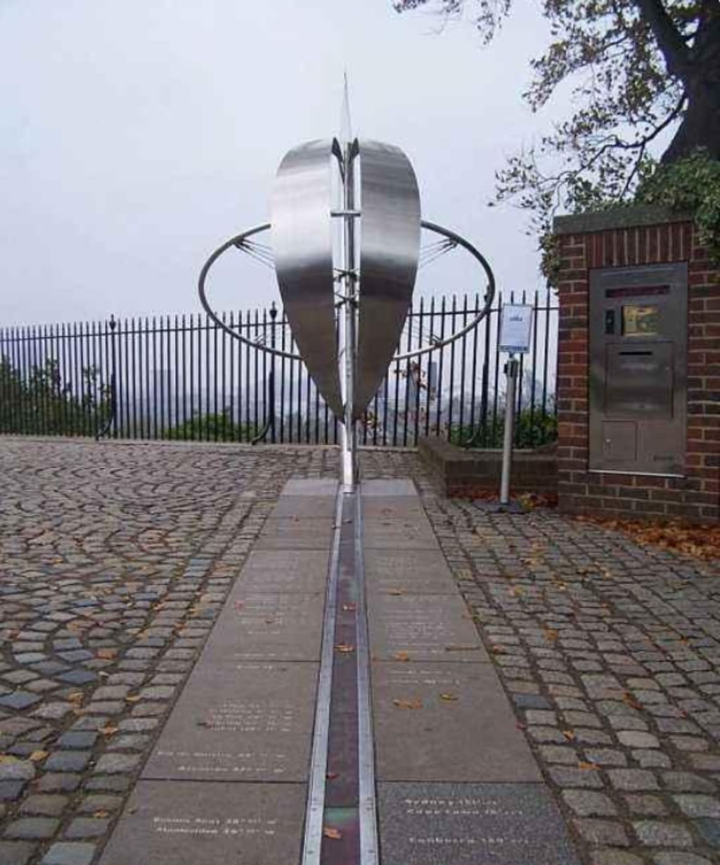
Longitude is the horizontal coordinate of the Earth and is the angle between the line connecting a point on the Earth's surface and the poles and the plane in which the 0-degree meridian lies. But the meridian is perpendicular to the equator. Starting from the prime meridian (the meridian passing through the original site of the Greenwich Observatory in London, the capital of the United Kingdom, is designated as the 0-degree meridian according to international regulations), it makes 180 degrees to the east and west respectively, from west to east, the longitude is from small to large east longitude, abbreviated as E; from west to east, the longitude is from large to small degrees, which is west longitude, abbreviated as W. Eventually the east and west meridians overlap by 180 degrees, so there is only one 0 degrees meridian (the prime meridian ) and a 180-degree meridian, which is the start and end of the meridian.
There are different time zones for different longitudes. Every 15 degrees is a time zone, and the International International Date Line is located at 180 degrees longitude. When crossing this line from east to west, the date will increase by one day and when crossing it from west to east, the date will decrease by one day.
Latitude and longitude are in the vertical and horizontal directions respectively, dividing the earth into 360° and 180°, but there is still a large span between each longitude and latitude, so there are minutes and seconds below the latitude. Sixty seconds is one minute and sixty is one degree. It is the same as every minute. This is the ancient Babylonian hexadecimal. So when you want to mark a place, it's accurate to the second, and you'll be able to mark the location exactly.
Although the use of latitude and longitude may seem far away, it's just the mapping software that saves us that part. But in some industries where precise location is needed, latitude and longitude play a very important role. So just because you don't use something often doesn't mean it's useless. Anything can only shine if you let it do its job when you need it.
I think it's a summary of the main points :
1. Claudius Ptolemy was a Greek mathematician, astronomer, geographer, and astrologer. His scientific treatises had a major impact on Byzantine, Islamic, and Western European science. Its most influential and far-reaching achievement was the creation of the simple degrees of latitude and longitude.
2. Latitude and longitude are coordinate systems built for the earth. Latitude and longitude are auxiliary lines on a map, not real, set by the man himself.
3. Latitude is the longitudinal coordinate of the Earth, the line plane angle formed by the line connecting a point on the Earth's surface with the Earth's spherical center to the Earth's equatorial plane. Latitude is parallel to the equator. It starts at the equator and makes 180 degrees to the north and south respectively. The starting point is the same, but the endpoint is different, so there are only one 0-degree latitude line and two 90-degree latitude lines at the north and south poles respectively.
Longitude is the horizontal coordinate of the Earth and is the angle between the line connecting a point on the surface of the Earth and the poles and the plane where the 0-degree meridian is located. But the meridian is perpendicular to the equator. Starting from the prime meridian (the meridian passing through the original site of the Greenwich Observatory in London, the capital of the United Kingdom, is designated as the 0-degree meridian by international regulations), it makes 180 degrees to the east and west respectively, from west to east, the longitude from small to large eastern longitude, abbreviated as E; from west to east, the longitude in degrees from large to small is western, abbreviated as W. Eventually the east and west meridians overlap by 180 degrees, so there is only one 0 degrees meridian (the prime meridian ) and a 180-degree meridian, which is the start and end of the meridian.
5. Different longitudes, different time zones, every 15 degrees is a time zone, and the International International Date Line is at 180 degrees longitude. When crossing this line from east to west, the date will increase by one day, and when crossing it from west to east, the date will decrease by one day.
About the Creator
De pepper
Share a little science every day
Malted Wheat Flour Market Size and Forecast 2025
Malted Wheat Flour Market Overview Malted wheat flour is produced by germinating wheat grains, drying them, and grinding them into flour. This natural malting process activates enzymes—particularly amylase—that convert starch into fermentable sugars during baking. The result is improved dough fermentation, enhanced texture, increased loaf volume, and a richer, more consistent flavor profile in baked goods.
By Aaina Oberoi3 days ago in Earth
Neutraceutical Packaging Market Size and Forecast 2025–2033
Neutraceutical Packaging Market at a Glance The Neutraceutical Packaging Market is projected to expand from US$ 4.92 billion in 2024 to US$ 7.63 billion by 2033, growing at a CAGR of 4.99% from 2025 to 2033. This steady growth reflects the accelerating global demand for dietary supplements, functional foods, herbal products, and wellness beverages. Rising health awareness, aging populations, sustainability expectations, the rapid growth of e-commerce, and evolving regulatory frameworks are reshaping how nutraceutical products are packaged, protected, and presented.
By jaiklin Fanandish3 days ago in Earth


Comments
There are no comments for this story
Be the first to respond and start the conversation.