
The Drone Revolution: How Unmanned Systems Are Transforming Marine Accident Scene Documentation
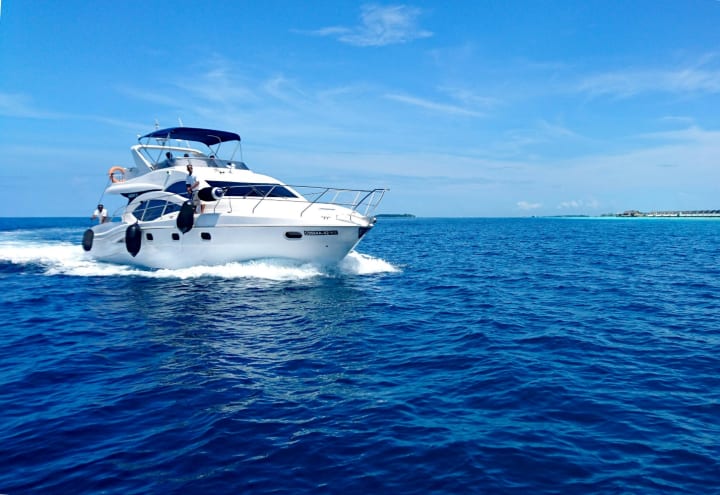
Marine Accident
When a marine accident occurs, clarity is everything. Investigators, insurers, and attorneys all need an accurate picture of what happened, yet accident scenes on the water are notoriously difficult to capture. Traditionally, documentation relied on photographs taken from the deck, diver inspections, or costly aerial flyovers. Today, however, unmanned aerial systems, better known as drones, are rewriting the rulebook.
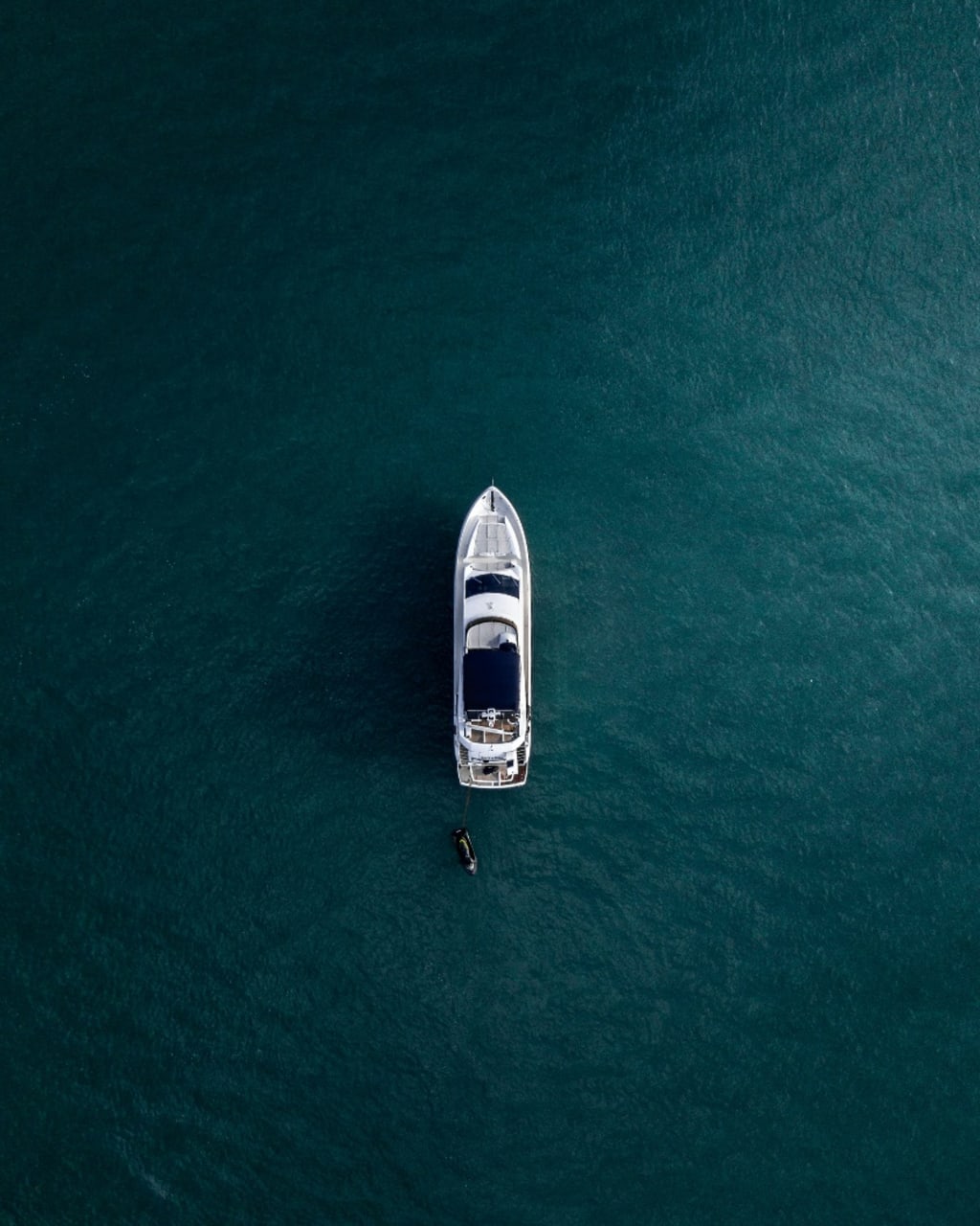
Drones are providing high-resolution, bird’s-eye perspectives of boats, yachts, and surrounding waterways, delivering angles and details that once seemed impossible or prohibitively expensive. For modern marine accident investigations, they are fast becoming indispensable tools.
A New Perspective on Marine Investigations
Marine accidents rarely happen in convenient places. Collisions may occur in narrow channels, shallow bays, or near complex dock systems where line-of-sight is limited. Aerial photography has always offered advantages, but until recently, chartering helicopters or planes was beyond the budget for most investigations.
Drones solve that problem. They provide sweeping overhead images and video footage within minutes, offering context that deck-level photos alone can’t capture. In a boating crash investigation in Florida, for example, drones can reveal collision points, vessel positioning, and even environmental conditions such as water depth or debris fields.
For smaller commercial vessels like tugs, barges, and fishing boats, or yachts ranging from 25 to 250 feet, this visual evidence often proves decisive when liability and damages are disputed.
Cost-Effective Precision
Beyond perspective, drones dramatically reduce costs. A full aerial survey that once required an aircraft and pilot can now be performed by a certified drone operator. This affordability means more investigations can benefit from aerial documentation, strengthening cases that might otherwise rely on incomplete evidence.
For insurers, this translates into faster claims processing and more confidence in settlement decisions. For attorneys, drone footage adds weight to expert testimony. And for vessel operators, it ensures their side of the story is visually represented, not just described.
Data Beyond the Camera
Modern drones do more than take pictures. Many carry advanced sensors capable of capturing thermal imaging, 3D mapping, and GPS-stamped data. These tools expand investigative possibilities dramatically.
For example, thermal imaging can identify heat signatures from onboard fires or electrical malfunctions, complementing a yacht crash analysis by revealing damage invisible to the naked eye. GPS mapping, meanwhile, allows investigators to reconstruct the scene with pinpoint accuracy, synchronizing aerial visuals with navigation data from the vessel itself.
This integration of technologies helps transform raw footage into a narrative that courts can follow and trust.
Strengthening Courtroom Evidence
When disputes reach the courtroom, credibility hinges on evidence. Photographs alone can be challenged as selective or misleading, but drone footage offers comprehensive coverage. Wide-angle shots provide context, while detailed close-ups highlight specific points of impact or damage.
In a boat collision investigation, this level of documentation gives attorneys a powerful visual tool to support their arguments. Judges and juries, often unfamiliar with maritime environments, benefit from seeing the scene from above. Complex situations become more understandable, and arguments become more persuasive.
Simply put, drone footage bridges the gap between technical testimony and layperson comprehension, increasing the likelihood of fair outcomes.
The Future of Marine Accident Documentation
The role of drones in marine investigations is only growing. Regulatory frameworks are catching up, making it easier for certified operators to conduct aerial surveys over waterways. As technology improves, higher resolution cameras, longer flight times, and advanced sensors will expand their utility even further.
For vessel operators, insurers, and legal teams, this trend means that comprehensive aerial documentation is no longer a luxury, it’s becoming the standard. The ability to capture an accident scene quickly, affordably, and in extraordinary detail gives every party involved a stronger foundation for resolution.
Take the Next Step with A&L Maritime Experts, LLC
Marine accidents demand clear, reliable evidence, and today, drones are among the most powerful tools for capturing it. At A&L Maritime Experts, LLC, we combine 55 years of marine surveying expertise with the latest investigative technologies, including unmanned aerial systems, to deliver courtroom-ready documentation.
Whether you’re facing a boating crash investigation, a boat collision investigation, or a complex yacht crash analysis, our team provides the precision, integrity, and advanced evidence you need.
Contact A&L Maritime Experts, LLC today to schedule a consultation. Let us help transform your accident scene into clear, compelling evidence that protects your case.
About the Creator
Author’s Advice
If you would’ve asked me 20 years ago did I know I’d become a writer and an author, I would’ve said “nope, ain’t happening”. As fate would have it I did become an author and I can honestly say I’m loving it so far. It really does feel good to be a writer. I’ve learned a lot on this journey and I feel like with even me being as new to this world as I am, there’s some wisdom I need to share with every other aspiring author.
By Joe Patterson2 days ago in Journal
Why Didn't Anyone Tell Us
Men, move along. This is not for you. This is for the women. I was forty-five when I began menopause. It is pretty young for that to be going on in a woman’s life, but I had undiagnosed PCOS, my entire life. Thank you to all the gynecologists I had seen my entire life. That in itself should encourage women to keep seeking second opinions, especially when you are not getting correct answers or any at all.
By Alexandra Grant3 days ago in Humans


Comments
There are no comments for this story
Be the first to respond and start the conversation.