
How Old Maps Lied to Us
Sea monsters, phantom islands, and continents that vanished—why the maps of the past were as much fiction as they were navigation tools


Sea monsters, phantom islands, and continents that vanished—why the maps of the past were as much fiction as they were navigation tools.
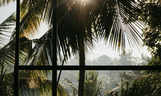
If you’ve ever looked at an ancient map, you might notice something odd. There’s a stretch of ocean where a massive serpent curls around a ship. There’s a continent you’ve never heard of floating somewhere between Asia and North America. And then there’s a strange warning scrawled across the sea: “Here be dragons.”
It’s beautiful. It’s fascinating.
It’s also wrong.
For centuries, maps were less about accuracy and more about imagination, politics, and—sometimes—sheer guesswork. The story of old maps isn’t just about navigation; it’s about how humans saw their world, and how those visions were often shaped by fear, ambition, and the limits of their knowledge.
When the Unknown Became the Untrue
Before satellites and GPS, mapmaking was part science, part storytelling. Explorers relied on sailors’ tales, merchants’ rumors, and even secondhand descriptions from people who had never left their hometowns. If one traveler claimed to have seen a giant island far out at sea, cartographers might simply add it in.
One of the most famous examples is Hy-Brasil, a “phantom island” said to lie west of Ireland. For centuries, it appeared on maps as a real place, despite no one ever actually finding it. Some claimed it was shrouded in mist, only visible once every seven years. Eventually, it faded from maps—not because it was discovered, but because people finally stopped believing it existed.
The Creatures That Never Lived
Old maps weren’t complete without a few terrifying creatures lurking in the corners. Medieval cartographers often filled uncharted waters with drawings of whales, giant squids, and sea serpents. These creatures were based on a mix of real sightings—like a distant whale spout mistaken for a monster—and pure artistic license.
They weren’t just decoration. These illustrations warned sailors: Danger lies here. If you’re venturing into unknown waters, be ready for the unimaginable. The monsters may not have been real, but the fear of the unknown certainly was.
Political Borders That Never Existed
Maps were also tools of power. Rulers often instructed cartographers to stretch borders in their favor, making kingdoms appear larger and more impressive than they actually were. Colonial powers used maps to claim lands they’d never even set foot on.
For example, during the Age of Exploration, European maps often carved up entire continents based on treaties and royal decrees—ignoring the fact that people already lived there with their own borders, cultures, and histories. In this way, maps didn’t just reflect reality; they actively reshaped it.
Continents That Disappeared
The biggest lies on old maps weren’t just islands—they were entire continents. Take Terra Australis Incognita, a massive landmass drawn across the Southern Hemisphere. Ancient and medieval scholars believed it must exist to “balance” the continents in the north. For centuries, this fictional continent appeared on maps, influencing exploration and fueling expeditions.
When European explorers finally reached Antarctica, they discovered it was nothing like the lush, habitable land they’d imagined—it was a frozen, inhospitable desert. The dream of Terra Australis melted away, but not before inspiring countless voyages.
Why They Lied—and Why It Mattered
Not all these inaccuracies were intentional. Many cartographers did their best with the information they had. But others knew that a good story sold better than a dull truth. A map with mysterious islands and monsters captured imaginations. It inspired sailors to seek riches—or rulers to fund voyages.
These “lies” shaped history. Some explorers set out in search of lands that never existed. Others avoided promising trade routes because maps warned of monsters or endless storms. In some cases, entire wars were fought over places that were later revealed to be myth.
From Dragons to Data Points
Today, we can zoom in on nearly any spot on Earth from our phone. Google Earth doesn’t leave room for dragons in the margins. Yet, even our modern maps aren’t perfect—they can still be influenced by politics, incomplete data, or even deliberate omissions.
The difference is that now, our inaccuracies are harder to hide. A misplaced border on a digital map can cause an international incident in hours. And while the age of sea monsters might be gone, the age of misinformation is very much alive—only now, it travels at the speed of Wi-Fi.
The Beauty in the Lies
Despite their flaws, old maps hold a certain magic. They’re windows into how our ancestors dreamed about the world. A medieval mariner might not have known where the Pacific Ocean ended, but his map told a story—of courage, curiosity, and the human desire to fill in the blanks.
Even their errors have value. They remind us that knowledge is always evolving. What we see as fact today might be seen as fantasy tomorrow. And perhaps that’s the greatest lesson old maps can teach: the world is always bigger, stranger, and more surprising than we think.
About the Creator
LUNA EDITH
Writer, storyteller, and lifelong learner. I share thoughts on life, creativity, and everything in between. Here to connect, inspire, and grow — one story at a time.
Keep reading
More stories from LUNA EDITH and writers in Fiction and other communities.
The Rally Between Waking and Dream
The Court at Dusk The court appeared where evening usually hides its quiet miracles—behind the old park, past the trees that whispered to each other like elders. The young man arrived with a single tennis ball in his pocket, not even a racket, as if he already knew this would not be a game governed by rules. The sky was bruised purple and gold, and the net sagged like a tired smile. He had come to think, to escape the noise of days that asked too much and gave too little.
By LUNA EDITHabout a month ago in Fiction
Veil of Subconscious Awakening
Images slide behind my eyelids like film cadres, bursting with meanings. In one moment, I’m speeding down the highway, making the speedometer swing wildly like a frantic pendulum. The next moment, I’m plunging from a falling plane, slowly crashing earthward. At home, I meet black cat’s green, googly eyes staring at me from the cavernous hollowness of the kitchen. When I turn for a moment, it disappears, and all I can see is a pair of blue suede shoes set up against the wall. I pick them up and put them on. When I glimpse at them again, they’ve become black as night, making me blink and flinch.
By Moon Desert7 days ago in Fiction
The Silent Love of the Forest
Deep between green mountains lay a vast and peaceful forest where life moved in harmony with nature. Every morning, golden sunlight slipped gently through the leaves, painting patterns upon the soft earth. Birds filled the air with melodies, and a clear river flowed through the forest like a silver ribbon, carrying stories of time itself.
By hamad khan2 days ago in Fiction


Comments
There are no comments for this story
Be the first to respond and start the conversation.