
The Creator of the First World Map: Anaximander and the Origins of Cartography
Map

The creation of the world map, an attempt to represent the vast expanse of the Earth on a flat surface, is a monumental achievement in the history of human knowledge. While many cultures over the millennia contributed to the development of cartography, one of the earliest recorded individuals to create a world map was Anaximander, a Greek philosopher and geographer from the 6th century BCE.
Anaximander, a student of Thales and a key figure in the early development of Greek scientific thought, is often credited with drawing one of the first world maps—a major step in the evolution of geography. Though no physical copies of his map survive, the work of this ancient thinker laid the foundations for future developments in cartography and geography.
Anaximander: Philosopher, Astronomer, and Geographer
Anaximander (c. 610–546 BCE) was born in the city of Miletus, a thriving Greek city-state in Asia Minor (modern-day Turkey). A contemporary of the philosopher Thales, Anaximander is often described as one of the first pre-Socratic philosophers—thinkers who attempted to explain the nature of the cosmos without resorting to mythology. In addition to his philosophical contributions, Anaximander made significant strides in the fields of astronomy, geography, and biology.
Anaximander is best known for his cosmological ideas, which included the groundbreaking concept that the Earth was not supported by anything, but instead floated freely in space. His theories also extended to the idea of the “apeiron,” an indefinite, boundless substance from which all things originate and return. It is in the context of these broader philosophical and scientific ideas that Anaximander ventured into the realm of geography, attempting to understand and depict the world.
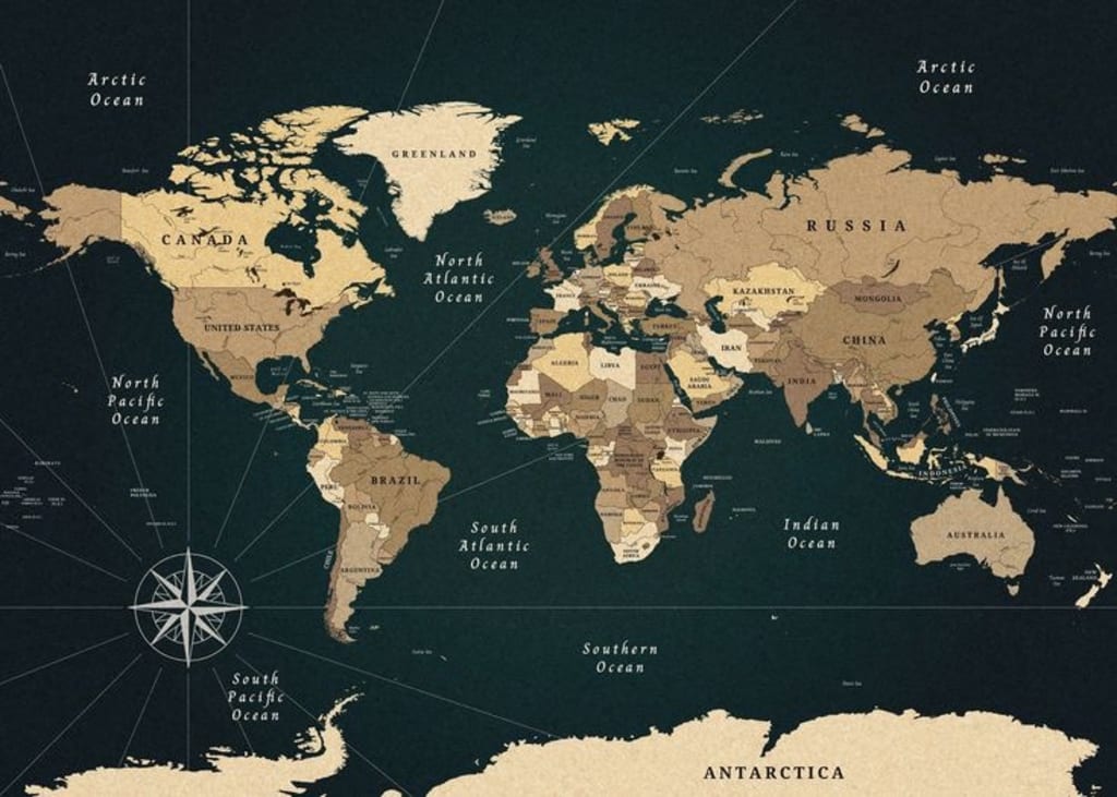
The First World Map: A Vision of the Known World
Anaximander’s world map is often considered one of the first true attempts to represent the Earth’s geography. His map was not a precise, scientifically accurate depiction of the globe as we might imagine today, but it was a groundbreaking effort in an era where much of the world was still unknown.
Anaximander’s map is described by later sources such as the Greek historian Strabo (c. 64 BCE–24 CE) and other ancient geographers. According to these sources, Anaximander’s map portrayed the known world as a flat, circular disk. The map was centered around the Mediterranean Sea, with regions such as Greece, Asia Minor (modern Turkey), Egypt, and parts of Africa depicted as the “known world.” It is believed that the map also included the rivers and mountain ranges that bordered these areas.
Unlike modern world maps, which show the Earth as a sphere, Anaximander’s map reflected the early Greek understanding of the Earth as a flat, disc-like surface. His conceptualization of the Earth was based on his philosophical belief in a balanced and harmonious cosmos, in which the Earth was located at the center of the universe.
While his map was certainly rudimentary by modern standards, Anaximander’s approach was a huge leap forward in attempting to organize the world geographically. This was a time when much of the world beyond the Mediterranean remained a mystery, and maps were often a blend of mythological and practical knowledge.
Scientific and Philosophical Context
Anaximander’s map was not merely an artistic representation of geography—it was deeply tied to his broader philosophical and scientific ideas. As a thinker, Anaximander sought to explain the world through rational observation rather than relying on mythological explanations. His belief in a natural, ordered universe, governed by laws that could be understood, extended to his views on geography.
In his cosmology, Anaximander envisioned the Earth as floating in space, not supported by any external force. This was an important shift from previous conceptions, such as the belief that the Earth was supported by a giant animal or other mythological figure. He believed the Earth was stationary at the center of the cosmos, surrounded by concentric spheres of celestial bodies. Anaximander’s map would have reflected this view, with the known world at the center and the unknown regions beyond the bounds of human knowledge.
Additionally, Anaximander’s interest in astronomy and celestial observation influenced his geographical ideas. He is also credited with the creation of one of the earliest known representations of the cosmos, a diagram that depicted the Sun, Moon, and stars. It is likely that his map was inspired by a similar desire to understand the Earth’s place within the cosmos.
Anaximander’s Influence on Later Cartographers
Although Anaximander’s world map was a product of its time, its influence on the future of geography and cartography was significant. His map was one of the first known attempts to represent the Earth in a systematic way, and it set the stage for later geographers and mapmakers, particularly those in ancient Greece.
The most famous of these later geographers was Eratosthenes (c. 276–194 BCE), who would go on to calculate the Earth’s circumference with remarkable accuracy. Eratosthenes’ work was based on an understanding of the Earth as a sphere, a concept that had been proposed by earlier Greek philosophers such as Pythagoras. While Anaximander’s map remained flat, his work laid the groundwork for the more sophisticated, spherical models that followed.
Additionally, Ptolemy, a Greek-Roman geographer and astronomer who lived in the 2nd century CE, would create a more detailed and scientifically rigorous world map in his work Geographia. Ptolemy’s maps were based on a system of longitude and latitude, concepts that had evolved from earlier Greek ideas and which were influenced by thinkers like Anaximander.
Legacy and the Evolution of Cartography
Although Anaximander’s original world map has been lost to history, his contributions to geography, astronomy, and philosophy left a lasting legacy. His attempt to represent the known world marked a crucial moment in the development of cartography. It showed that maps were not merely for navigation but also for understanding the Earth in the context of a greater universe.
The concept of mapping the Earth progressed over centuries, from the ancient Greeks to the Romans, the Middle Ages, and the Renaissance, with each culture adding its own insights and techniques. Over time, maps would evolve from simplistic, mythological representations to precise, scientifically accurate tools used for navigation, exploration, and understanding the world.
Anaximander’s pioneering work is often considered one of the earliest milestones in this long journey. By attempting to depict the Earth and its known regions, he not only contributed to the field of geography but also helped establish the idea that the Earth and the cosmos could be understood and measured through reason and observation. In this sense, Anaximander was not only the creator of one of the first world maps but also one of the early architects of scientific thought itself.
Conclusion
While Anaximander’s world map was limited by the scientific knowledge of his time, his efforts represent one of the earliest and most important steps in the history of cartography. As one of the first thinkers to map the known world, he laid the foundation for future geographers and mapmakers. His contributions to the understanding of the Earth and the cosmos helped shape the way humanity viewed its place in the universe for centuries to come.
About the Creator
Keep reading
More stories from Matilda Otu and writers in Earth and other communities.
The First Person to Reach the North Pole: Robert Peary and the Controversy of Discovery
The race to the North Pole was one of the most daring and ambitious quests in the history of exploration. The Arctic region, with its icy wilderness and relentless challenges, was a place that intrigued explorers and adventurers for centuries. Among the many who ventured into the harsh environment of the Arctic, **Robert Edwin Peary**, an American explorer, is widely credited as the first person to reach the North Pole—though his achievement remains one of the most controversial in exploration history.
By Matilda Otuabout a year ago in Earth
Pretty Privilege vs. Pretty Punishment
In today’s image-driven world, beauty is often described as a superpower. Attractive people are believed to get more opportunities, more attention, and more advantages in life. This phenomenon is commonly called pretty privilege. But there is another side of this story that is discussed far less often — pretty punishment.
By Aarif Lashariabout 18 hours ago in Earth


Comments
There are no comments for this story
Be the first to respond and start the conversation.